Ongoing development and uncontrolled human expansion in the target landscape, which used to be one of the richest lowland forest areas of Eastern Borneo, is breaking up vital connectivity for wildlife and affecting ecosystem functioning. The Pro Natura team is trying to find ways to increase [government and land use stakeholder] commitment towards [sun bear landscape] conservation and coordinated landscape planning, bringing different stakeholders together and matching spatial planning between districts and provincial government levels.
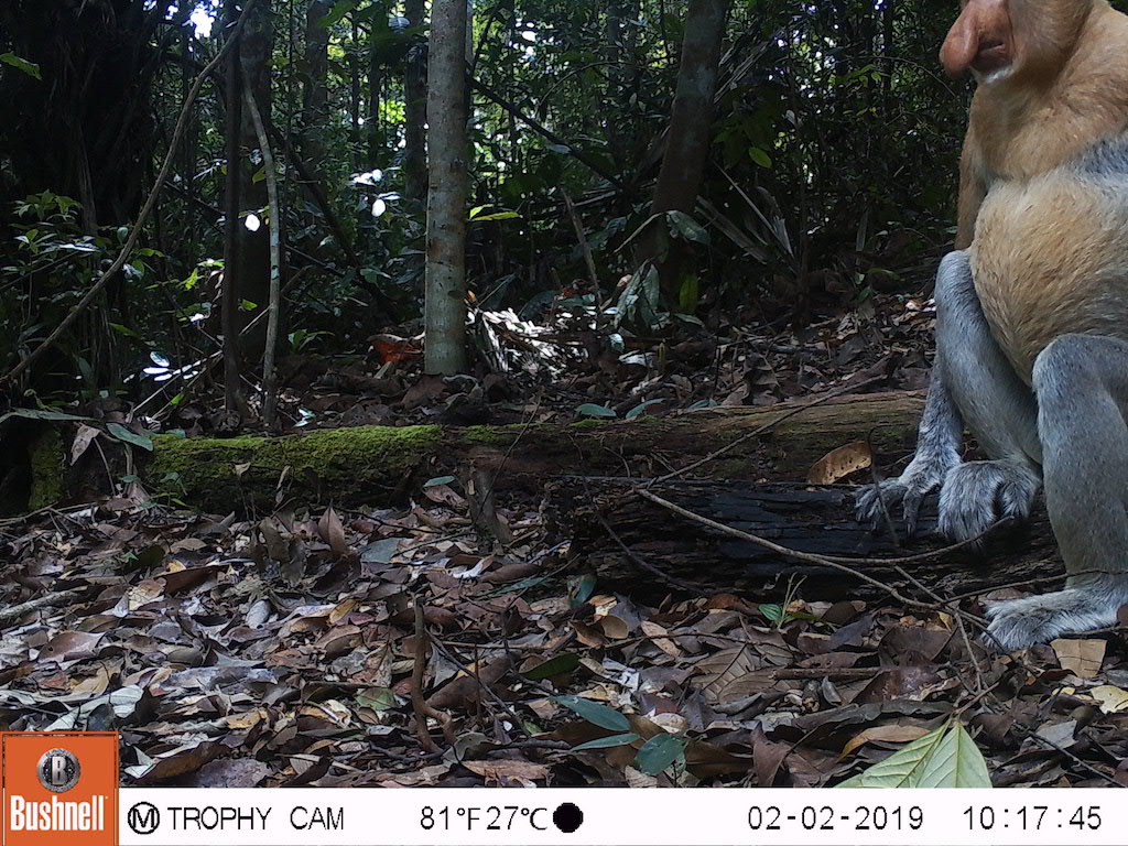
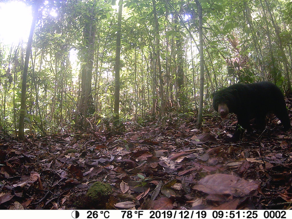
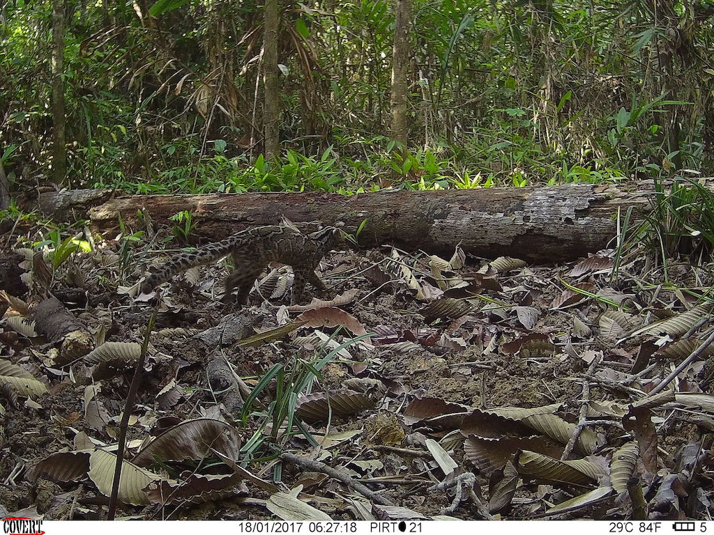
Camera trapping is planned in various forest/tree covered areas between Sungai Wain and the Bukit Suharto Forest, covering much of the INHUTANI Forest Estate, which has a mixture of protected forest, rubber, acacia, palm oil and other landuses. This camera trapping will be augmented with sign survey work to further verify sun bear movement in this landscape. It will also be necessary to collect, collate and analyze all spatial plans relevant to this landscape including provincial and district spatial plans, forest function allocations, FMU management plans, and concessionaire management plans. It will also be necessary to analyze most recently available remote sensing imagery, both from satellites and UAVs.